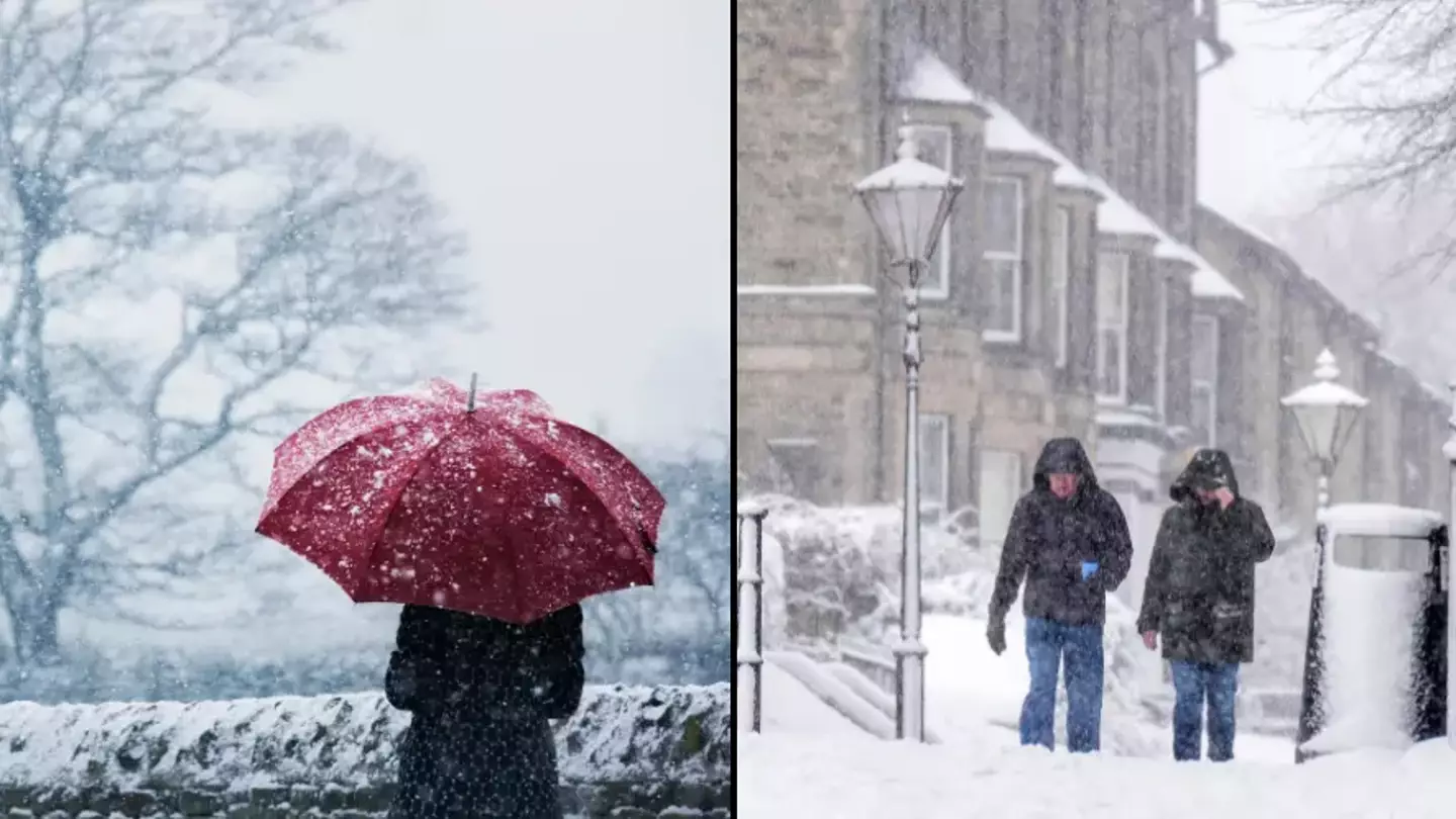
Get ready to dig out your hats, gloves and scarves now that the Met Office has issued a weather warning beginning tomorrow.
It’s autumn, and while it comes with lovely different colours of leaves and a crisp morning air, there’s also the chance that things will get chilly, but how chilly are we to expect?
According to the Office, we’re in for a bit of a cold one starting from tomorrow (17 November) as Arctic winds are set to sweep across the UK.
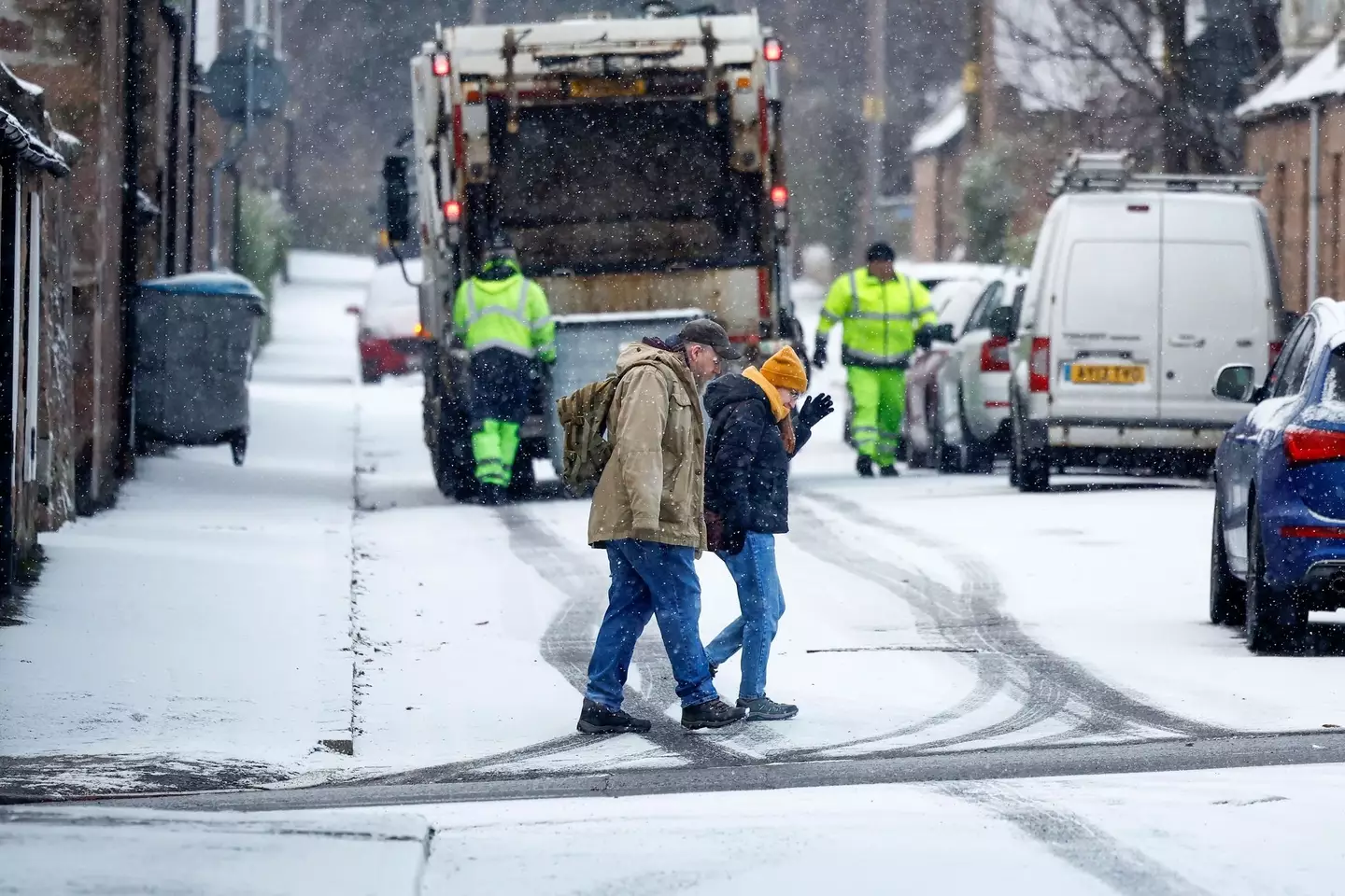
The Met Office issued two warnings (Getty Images / Jeff J Mitchell / Staff)
You can expect sub-zero temperatures, as well as rain to come in parts of Southern Scotland and Northern England, as temperatures in some areas will be well below the average for this time of year.
In London, you can expect highs of 6C and night-time lows of -1C.
Snow and ice warnings have also been issued, with it coming into Scotland from tomorrow at 4pm until Monday 11am.
It’ll then travel to England from Monday at 10am until the same time on Tuesday.
Unfortunately, while the rest of the UK is set to experience maybe just a smattering of snow, heavy snow is due to take over the two areas given the weather warnings.
Meteorologists said there will be ‘a messy mixture of rain, sleet and snow’ in the next few days for parts of the UK, and everywhere will be a lot colder than they’d like it to be.
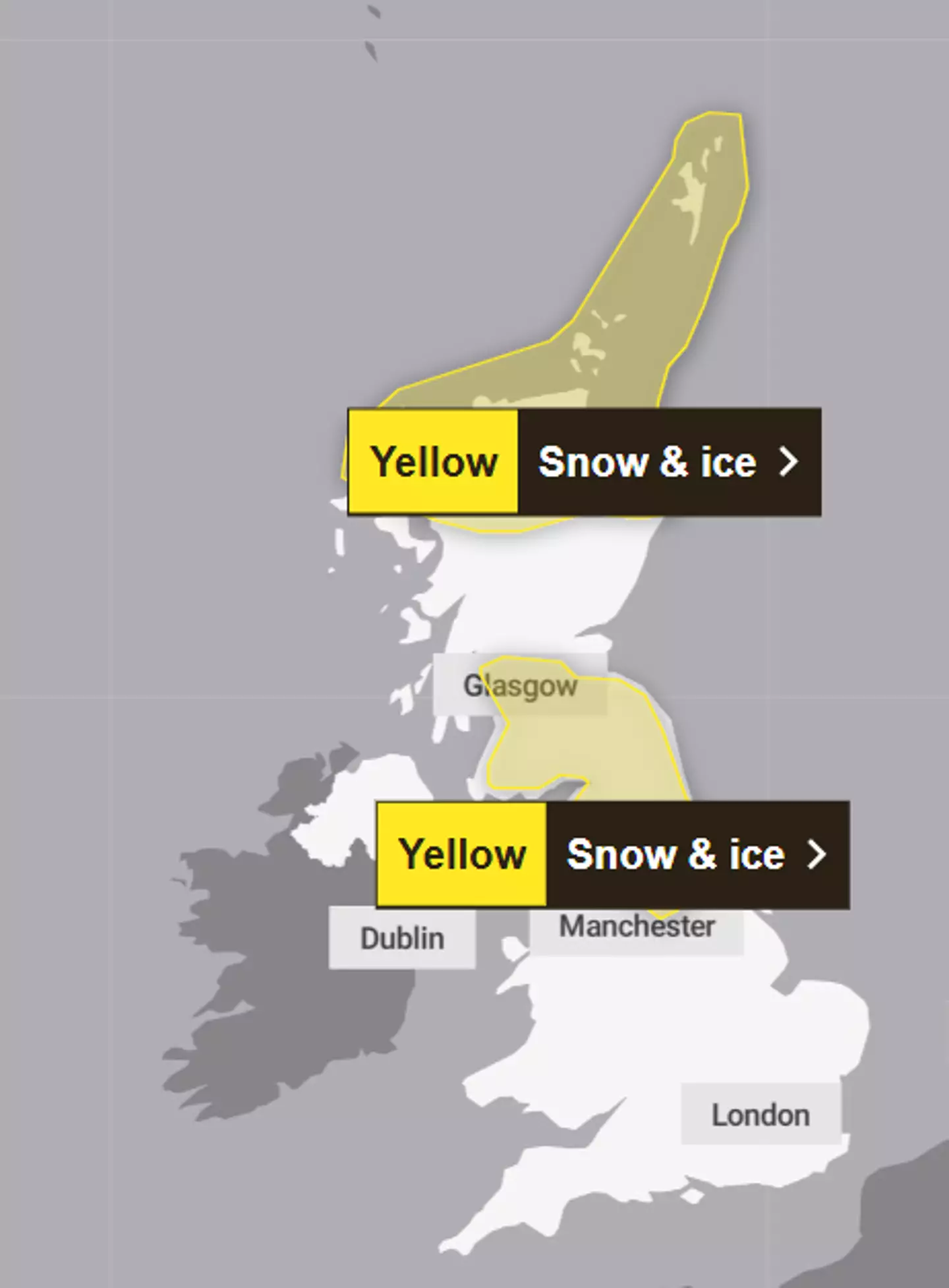
The warnings cover parts of Scotland and England (Met Office)
Apparently, there will be a ‘major change in the weather from this weekend, as an early winter cold spell arrives bringing the potential for disruption for some next week’.
However, with cold comes danger, as the UK Health Security Agency issued a cold health alert starting from Sunday until next Thursday for the Midlands (sad week for me) and the North of England.
It warned of an ‘increased use of healthcare services by vulnerable people’ and a ‘greater risk to life’ for those who are vulnerable.
While a lot of inland places will see dry weather and a bit of frost in the morning, Northern Ireland can look forward to frequent showers (as usual) as well as the coastal areas of England and Wales, which will also see rain, sleet and hail.
According to a map showing forecast snow in southern Scotland and northern England, there is a possible fall of 15-20cm on hills above 400m, and then 2-10cm in low areas.
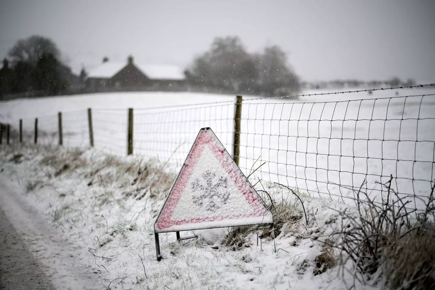
Get your hats and gloves out (Christopher Furlong / Staff / Getty Images)
The first weather warning for Northern Scotland, which also covers the Highlands area, explained that ice and some snow could lead to ‘slippery surfaces and difficult travel conditions’.
There is also possible ‘icy patches on some untreated roads, pavements and cycle paths’.
Travel could be affected by the weather, such as roads and railways, meaning that you can expect longer journey times by road, train or bus services as well as ‘injuries from slips and falls on icy surfaces’.
Forecasters went on to say that on Sunday afternoon, those living within the warning area will see showers that will turn increasingly chilly through the day, so get your wellies and umbrellas out.
Featured Image Credit: Christopher Furlong/Getty Images/Getty Stock Images
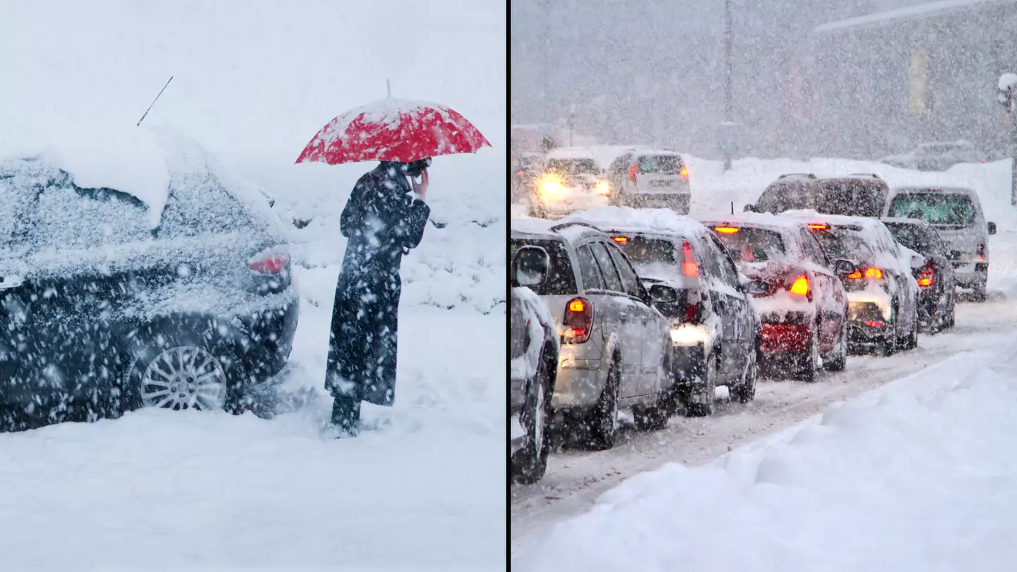
More than eight inches of snow is set to hit some parts of the UK, as almost a dozen amber and yellow weather warnings are issued right across the country.
The Met Office has issued a staggering 11 warnings across different parts of the UK from today to Friday (7 to 9 February).
Additional cold health alerts have been issued by the UK Health Security Agency (UKHSA), with heavy snow set to fall across parts of England, Scotland, Wales and Northern Ireland.
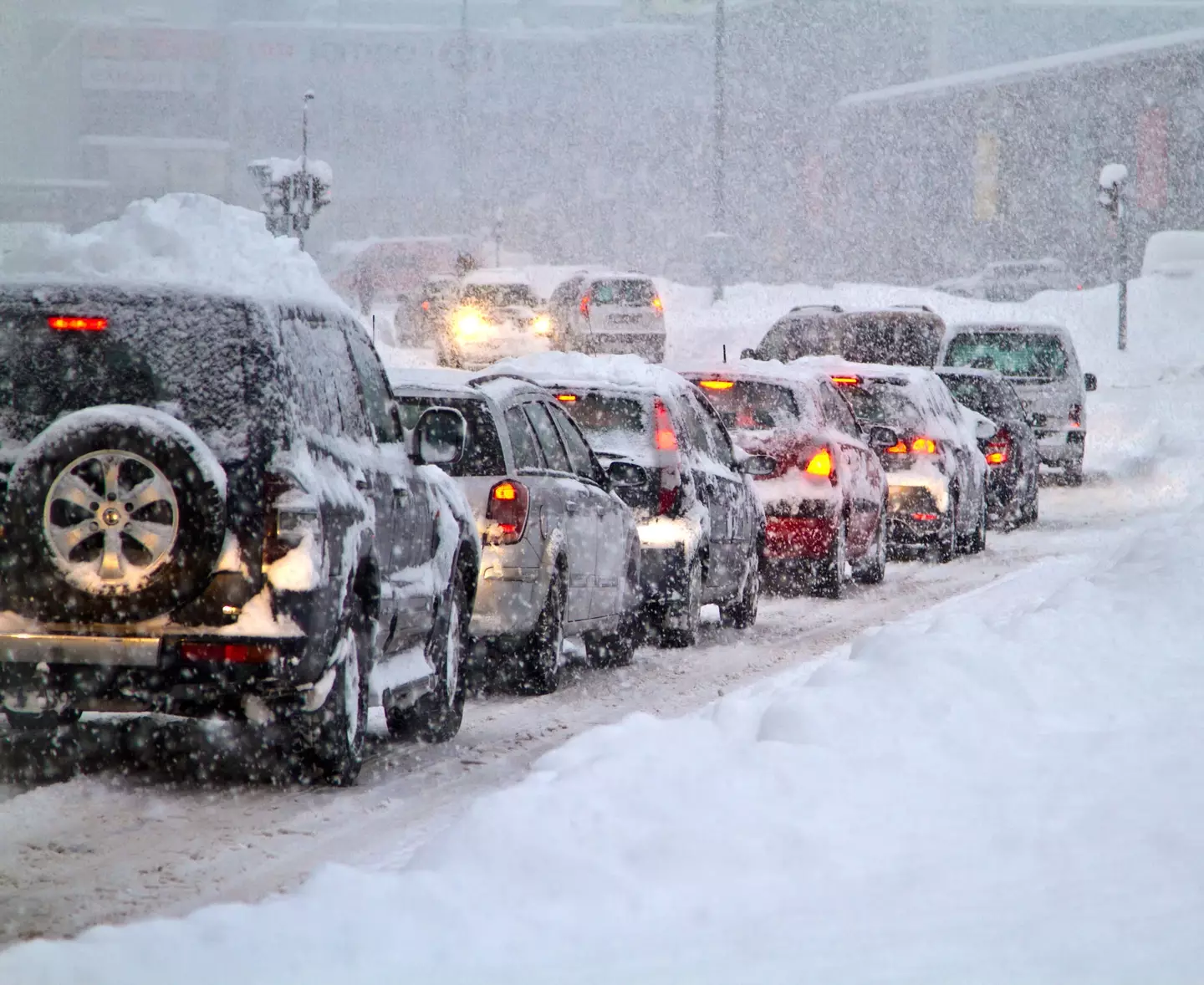
The worst hit areas will see up to 21cm (8.3 inches) of snow fall, with the Met Office warning ‘some rural communities could become cut off’.
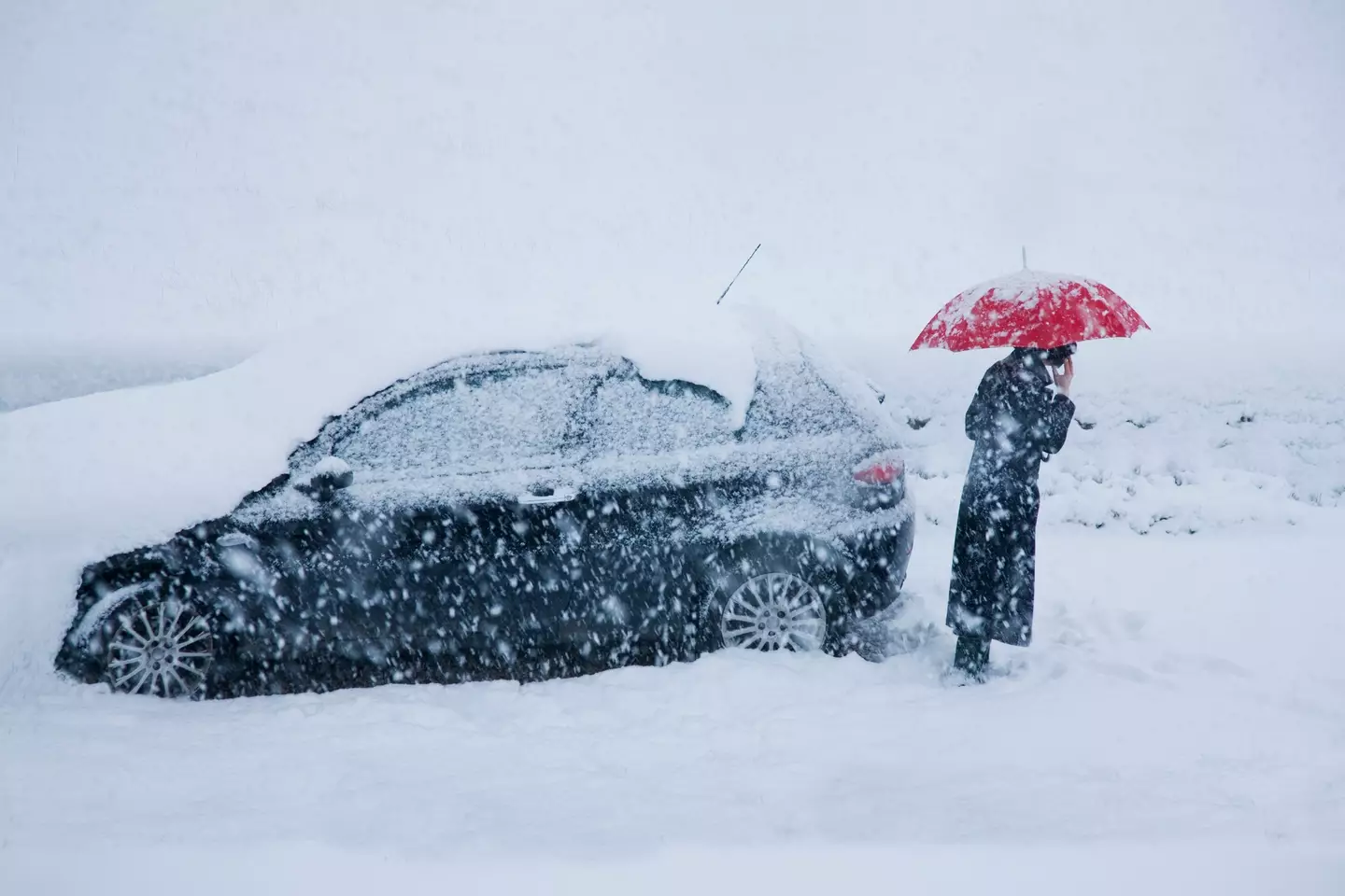
The weather service warns that people and vehicles will likely get stranded, with power cuts possible and phone service to drop out.
Drivers are worth noting the 20-second rule when driving in these upcoming snowy conditions.
Trains could also be cancelled and ‘untreated pavements will become impassable’ with falls and injury likely.
Two snow and ice warnings have been issued for Scotland on Wednesday, including pretty much the entire country north of Glasgow.
Thursday is when the snow bomb arrives, with 21cm expected to have settled in the Yorkshire Dales by 9am on Friday.
Getty Stock Image
Two amber snow warnings are in place on Thursday across England and Wales. In England, the warning runs from midday to 6pm and impacts the Peak District and south Pennines, including Bradford, Huddersfield, and western edges of Sheffield.
The amber warning in Wales covers huge swathes of the north, including Wrexham, Corwen, and Ruthin.
On Thursday, a yellow snow warning also covers almost the entire north of England and Midlands, including all Liverpool and Merseyside, Greater Manchester, North Wales, Nottingham, and Birmingham.
There’s also a yellow warning for rain across the entire south of England including Plymouth, Portsmouth, Brighton, and Dover.
Heading into Friday, a snow and ice warning is in place across the entirety of Northern Ireland, with the northern England and Midlands snow warning from Thursday remaining in place for the morning.
Getty Stock Image
Met Office Deputy Chief Meteorologist Chris Almond said: “There’s an increased signal for wintry hazards as we move through the week as cold air from the north moves over the UK.
“It’s from Thursday that the snow risk becomes potentially impactful, as mild air attempts to move back in from the south, bumping into the cold air and increasing the chance of snow where the two systems meet.
“While there are still lots of details to work out, the initial snow risk looks highest in northern England and Wales from Thursday.
“One to two centimetres is possible to low levels, with 10 to 20cm possible over the highest ground within the warning area. This snow is likely gradually change to sleet and rain later on from the south.”
UKHSA has Cold-Health Alerts in force for parts of England from Wednesday, highlighting the possibility of significant impacts for the health and the social care sector.
Amy Shaw, National Network Manager at National Highways, said: “Freezing conditions bring hazards such as snow and ice, so take every possible step to understand your journey in advance and allow lots of extra time when travelling to prepare for the unexpected.
“It is therefore always important to plan ahead for your journey, check the weather forecasts, and if weather conditions become challenging, adjust your driving behaviour and take extra care.”
Featured Image Credit: Getty Stock Photos
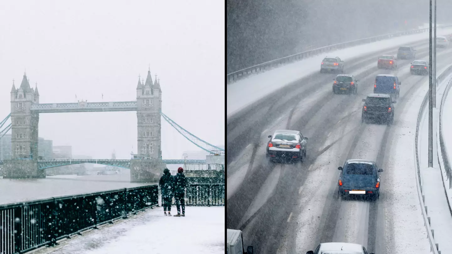
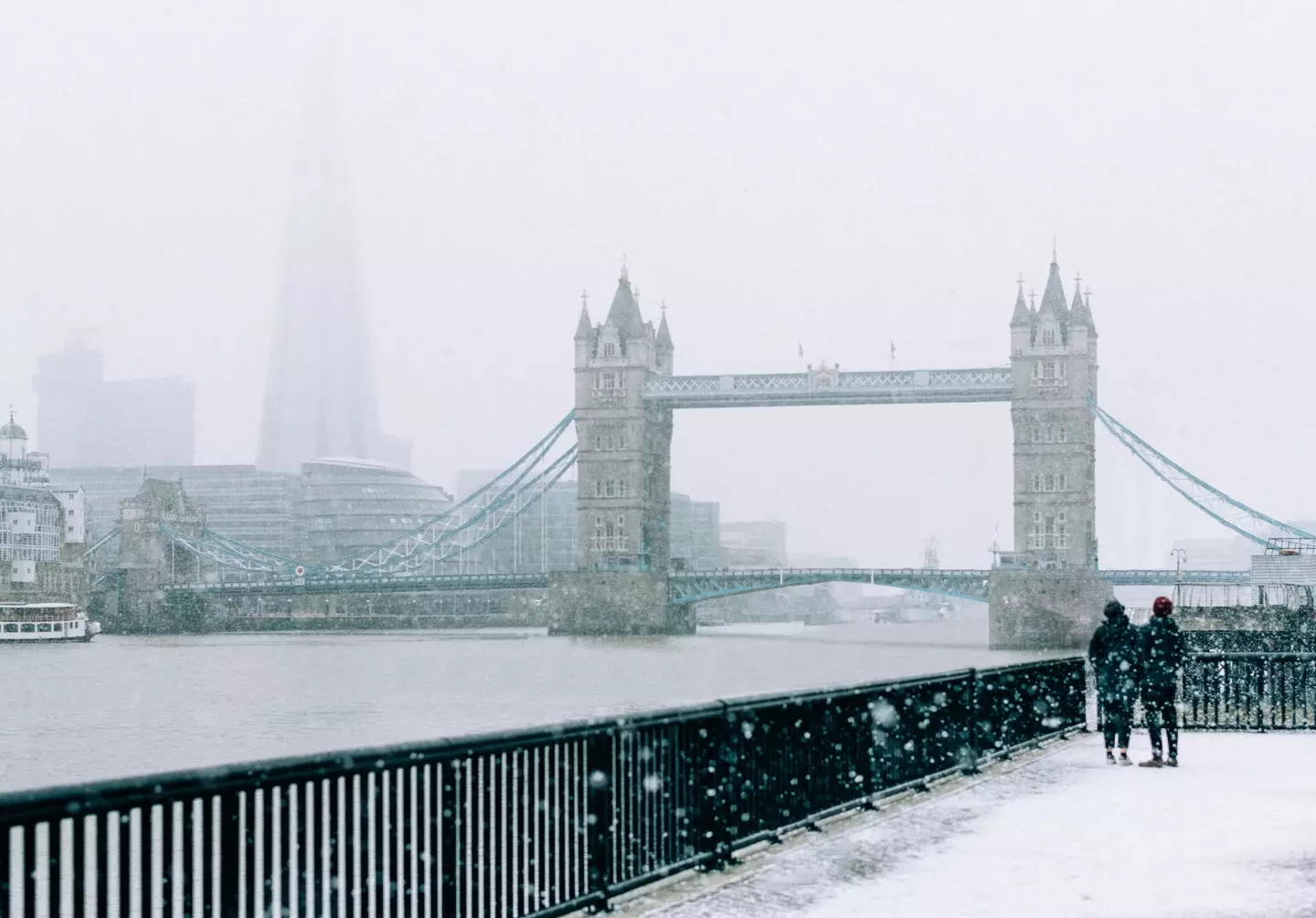
“Bloody hell, it’s cold init,” will no doubt be echoed up and down the country today, with temperatures plummeting as we head into the festive period.
And it’s only going to get colder as the Met Office has issued Brits with a snow warning, starting from tomorrow (30 November).
Last night (28 November), temperatures plunged as low as -7.2C as parts of Scotland, Northumberland and Yorkshire have already been hit with snow.
The rest of the UK are now being warned to brace themselves for more snow and ice, amid the plummeting temperatures.
Daytime temperatures are expected to drop to single-digit figures this week and night temperatures are predicted to stay below freezing for large parts of England and Scotland.
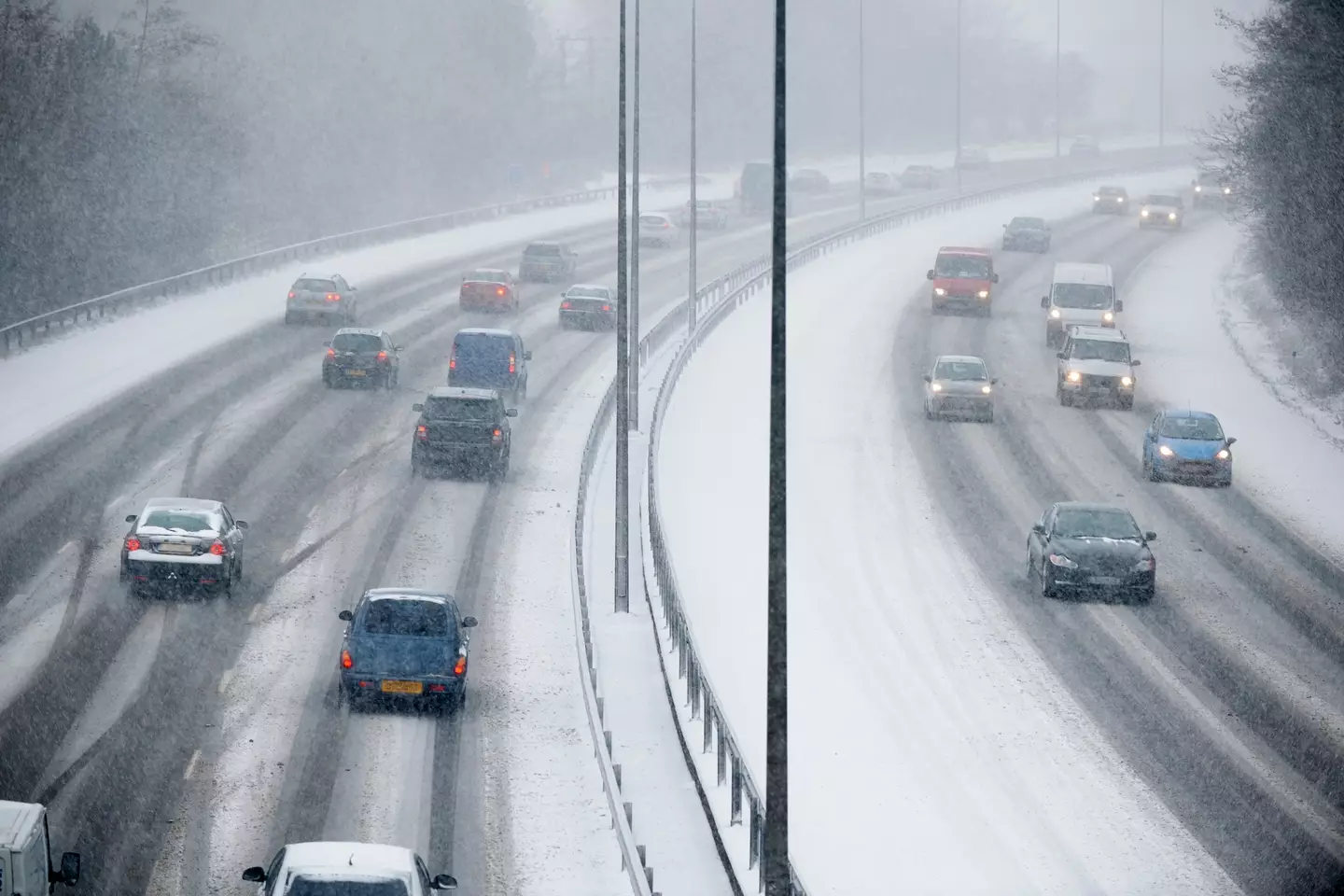
A spokesperson for the Met Office said: “Showers, wintry in places, will continue to affect northern and eastern Scotland and eastern England through Thursday evening and overnight into Friday morning.
“These are likely to fall onto frozen surfaces allowing icy patches to form.
Getty Stock Photos
“From approximately the Humber northwards, showers will often fall as snow inland, with up to 2cm possible in places, and perhaps as much as 5cm over high ground.
“Further south, any snow accumulations are more likely to be restricted to higher ground.”
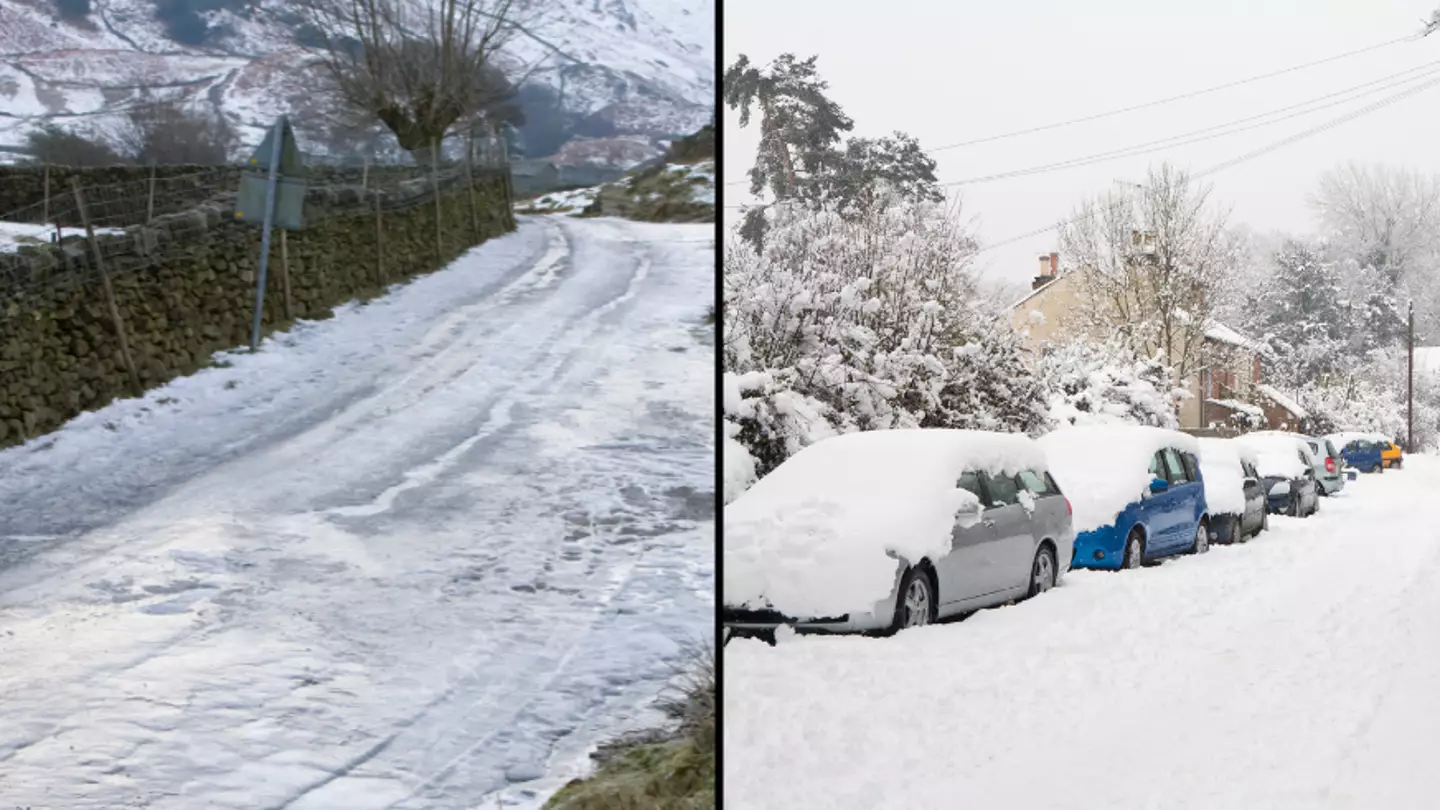
They added: “Spells of snow may develop over hills, especially parts of Bodmin Moor, Dartmoor, Blackdown Hills and Exmoor during the early hours of Thursday before petering out later in the day.
“The highest parts of Dartmoor and perhaps Bodmin Moor may see 5-10cm of snow with some drifting in strong easterly winds.
“Elsewhere, accumulations are likely to be relatively small, perhaps 1-3cm at most, and mainly in areas inland and above 100-200m. In addition to this, icy patches may also develop on untreated surfaces.”
Now, this is where it gets interesting as Ladbrokes’ latest betting odds for snow to fall anywhere in the UK on Christmas Day are 1/2.
They predict that Edinburgh and Newcastle are the ‘most likely destinations to see snow’.
Getty Stock Photos
But before you get excited, the Met Office has urged people to take this prediction with a ‘pinch of salt’.
Met Office spokeswoman Nicola Maxey said: “Christmas is still a month away, so it is impossible with this lead time to have any confidence in a detailed forecast.
“There is often a fine line between who sees snow and who sees rain. Sometimes just a fraction of a degree Celsius change in temperature can make the difference between rain or snow falling, making forecasting snow weeks in advance extremely difficult.
“The definition of a white Christmas most widely used is for a single snowflake to be observed falling in the 24 hours of December 25.
“Therefore, snow falls ‘somewhere’ in the UK for more Christmas days than not. But widespread snow falling and lying on the ground is rather more infrequent.
“For widespread and substantial snow on the ground on Christmas Day we have to go back to 2010.”
Featured Image Credit: Getty Stock Photos
Meteorologists have detailed exactly when UK residents will be treated to snow this winter.
A picture-perfect white Christmas is often the top of many a Yuletide wishlist.
And as the temperature drops across Britain this weekend, fans of the festive season are getting their hopes up.
But can we expect shimmering snowflakes to grace our shores anytime soon?
Well, according to The Met Office, a snow day is actually on the horizon, and it’s actually coming a lot earlier than you would expect.
Over the weekend, the whole country is being treated to single-figure temperatures following the evening frost yesterday (24 November)
The majority of the UK is expected to stay dry the next day while some will have the chance to bask in plenty of autumnal sunshine.
However, residents on the east coast will be subjected to patchy showers, while others may experience light winds.
Saturday evening will bring in widespread frost and the chance of rain, while the morning of Sunday will begin crisp before rain is pushed eastwards across the country.
Pexels/Simon Berger
If you’re a Scotland dweller then you’re in luck, because the country is expected to be much drier.
The rain is reportedly due to ease off on Monday (27 November), while Tuesday is expected to be much brighter.
And while there are no weather warnings in place for the coming week, The Met Office has announced that we could see snow.
The National Meteorological Service has revealed it could snow in the UK on both Wednesday, 29 November and Thursday, 30 November.
In a statement, they said: “Winds are likely to often be from the north, with a mixture of cold, quiet periods and some more showery episodes with rain, sleet and possibly hill snow.
“Any sleet and snow showers would be most likely to affect northern and eastern coastal districts.”
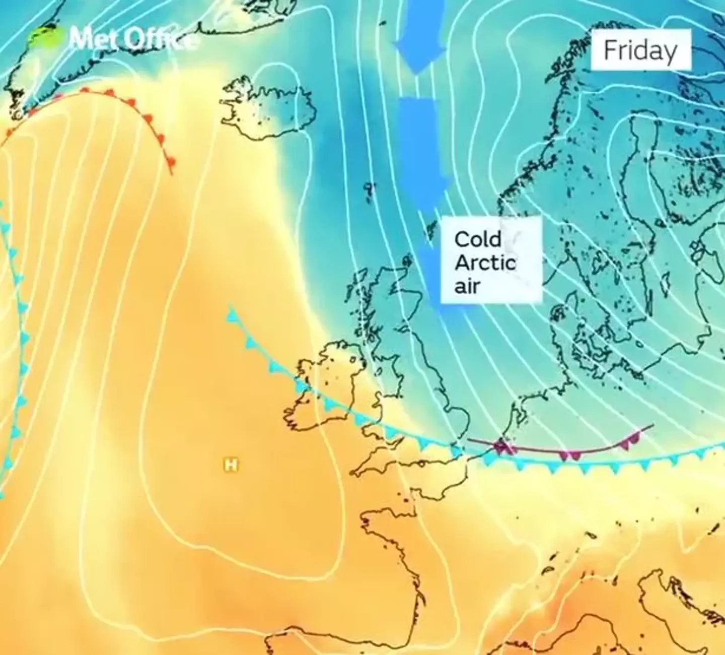
The Met Office
The spokesperson also added: “There remains a chance of more widespread snow spreading up from the south.”
Following the news, X users have taken to social media to express their excitement for the upcoming cold snap
One X (formerly Twitter) took to the platform and said: “It is -1°C. I love this weather. Please can it just stay like this?
“The only way it could possibly improve is if it snowed. I’d love a huge snowstorm right now.”
A second said: “I think today is perfect so far. I’m not (sic) a lover of hot weather. I’m not built for the heat.”
“UK weather will have me dreading getting ready but once I put my fit together and get cute, my mood changes lol,” wrote a third.
Featured Image Credit: Getty stock images
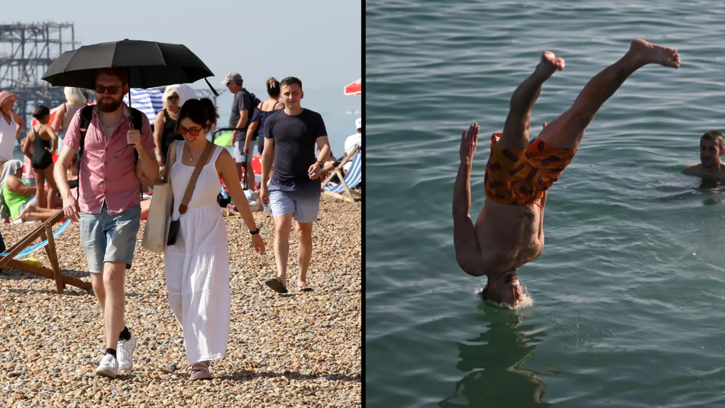
Weather experts at the Met Office have given their two cents over reports that the UK is set to bask in temperatures of up to 30 degrees Celsius.
Summer may finally be here, with the rain and cool temperatures of early June now set to stay firmly in the past if recent forecasts are anything to go by.
The end of June and into early July could now bring us glorious temperatures and sunshine that’ll make those lunch breaks at work all about getting a fresh dose of vitamin D. Just remember the suncream.
And according to boffins at the Met Office, which is the UK’s national weather service, we’re going to hit 30 degrees Celsius on some weather stations across the country. Bliss.
Neil Armstrong, a Met Office chief forecaster, said: “After a brief, less settled, interlude on Friday and Saturday, fine conditions will return by Sunday and into next week. For much of the UK this will be accompanied by a boost in temperatures with many places reaching the mid 20°Cs by the middle of next week.
“Some central and southern areas are likely to see temperatures approaching the values needed for heatwave conditions.
“Heatwave conditions need to remain in situ for three consecutive days, and by the middle of next week it is possible that some parts of the UK could be reaching heatwave thresholds. However, whether or not everyone experiences heatwave thresholds, the majority of the UK will experience the finest conditions and highest temperatures so far this year.”
Western parts of the UK will be affected by an approaching weak weather front today and Saturday, bringing some wetter conditions to north western Scotland. Sorry lads.
And although there is a chance that some of the country’s more isolated weather stations could record 30°C around the middle of next week, overnight temperatures will be lower, providing some respite for those who struggle with hot conditions.
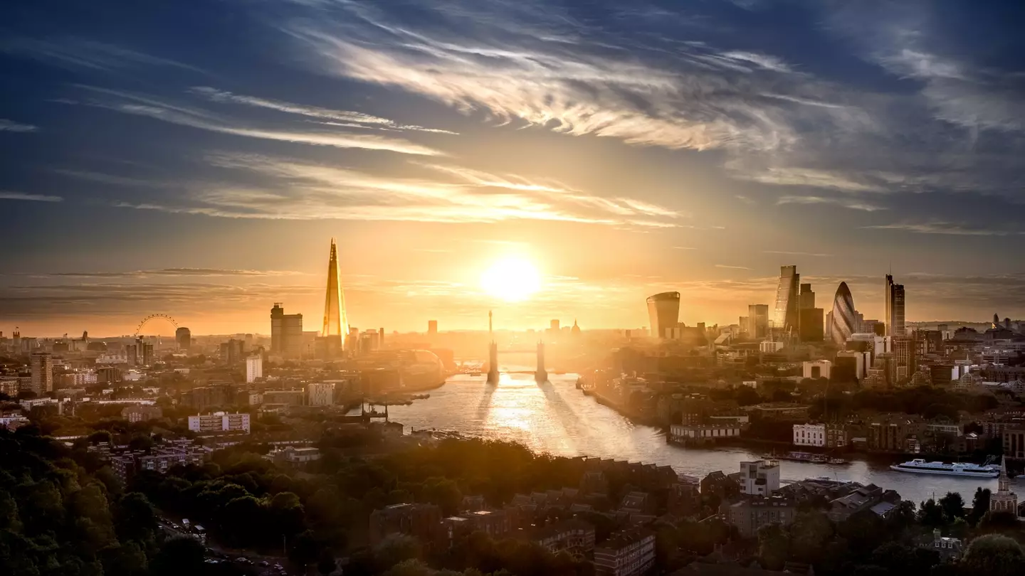
Temperatures in the capital are going to get very high (Getty Stock Images)
Where in the UK will get the best weather?
The best weather will come to the London area, with highs of 29°C by Wednesday next week (26 June). This will also apply to the city’s surroundings such as Southend-on-Sea and Chelmsford.
From Monday to Thursday, highs of 27°C will be expected right across England and southern Wales; the only exceptions being the North West, parts of Yorkshire, the east coast, and South West. That’s not to say these areas will have bad weather, with highs of 24°C still expected across the week for the rest of the UK.
Good news if you’re heading to Glastonbury, then, as the timing couldn’t be better.
Posting on X (formerly Twitter), BBC forecaster Simon King said: “Is a heatwave on the way? Maybe. Remember there’s a criteria that needs to be met depending on where you live, but with temperatures up to the mid to high 20s early next week… it’ll be close to the heatwave threshold for some.”
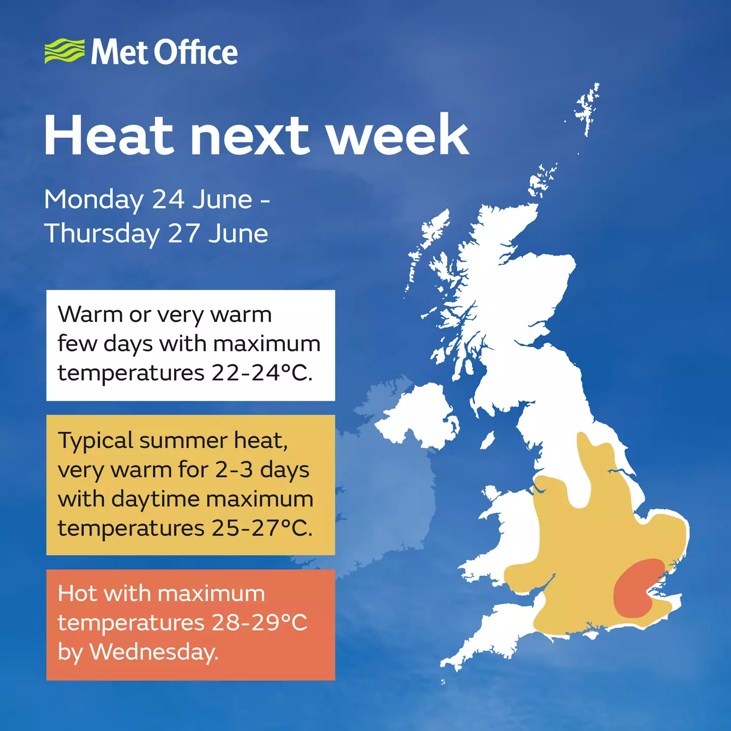
Time for sun (Met Office)
When does hot weather officially turn into a heatwave?
According to the Met Office, a heatwave is officially when a location records a period of at least three consecutive days with daily maximum temperatures meeting or exceeding the heatwave temperature threshold.
The threshold varies by UK county, with it 28°C in London and surrounding counties. In comparison, the threshold is 25°C in the likes of Scotland, Yorkshire, Lancashire, most of Wales, and Cornwall.
“Heatwaves are most common in summer when high pressure develops across an area. High pressure systems are slow moving and can persist over an area for a prolonged period of time, such as days or weeks,” the weather service says.
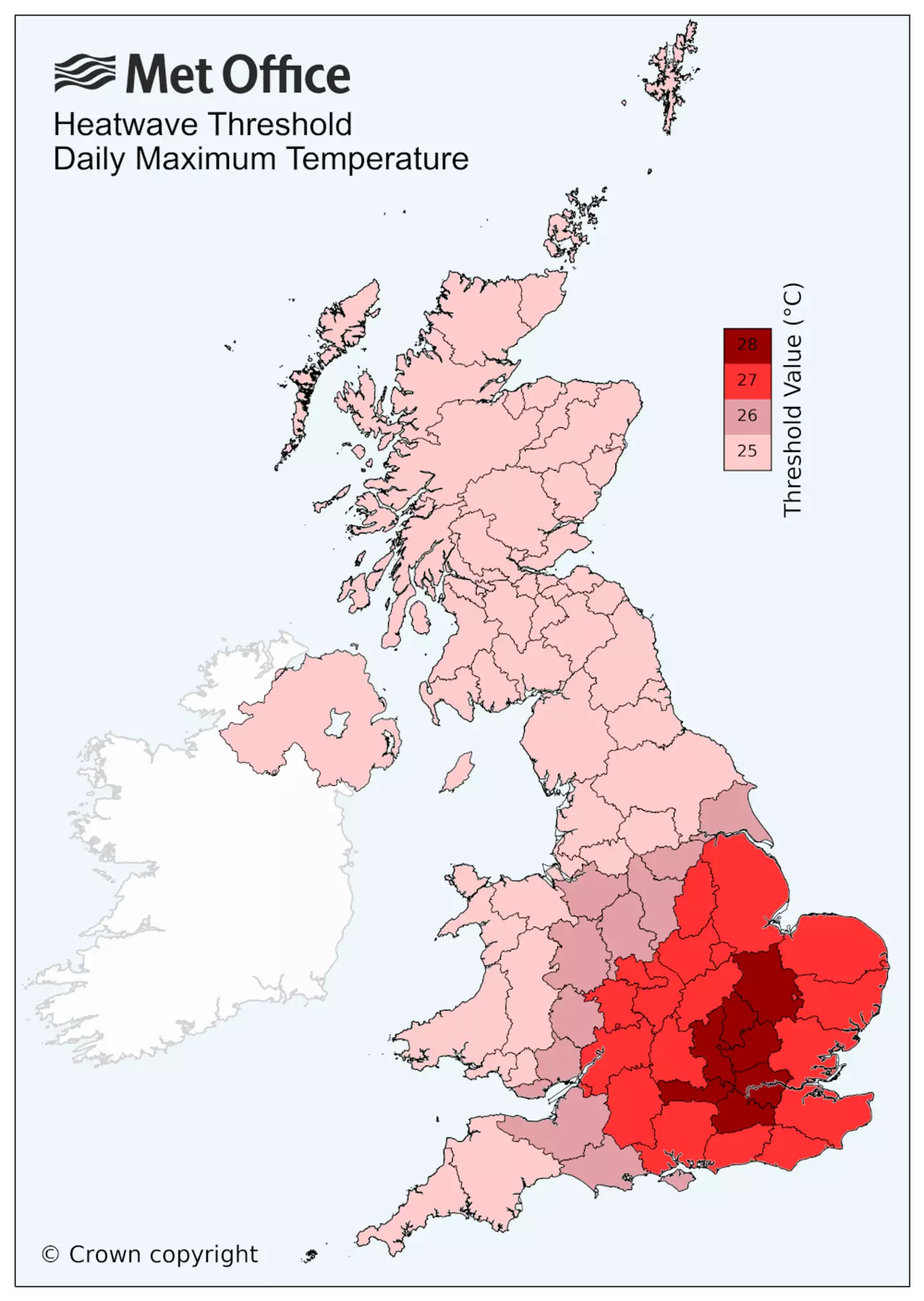
The UK heatwave classification system (Met Office)
Staying safe in the sea and the sun
Samantha Hughes, National Water Safety Partner at the RNLI, said: “The forecasted warm weather will mean we’ll see more visitors at the coast and we always want people to enjoy themselves safely.
“Entering the water during warm weather can increase the risk of cold water shock due to the sudden changes in skin temperatures. Enter the water gradually and avoid jumping or diving straight in to reduce your risk of cold-water shock.
“If you’re planning on heading to the beach, we highly recommend you visit one that is lifeguarded and you swim between the red and yellow flags. This is the safest area and is most closely monitored by lifeguards.


